Quick Booking
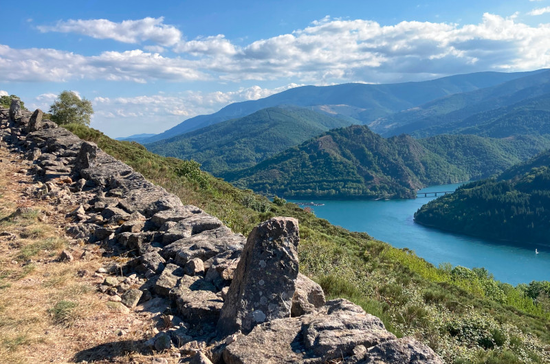
Many hikes cross Villefort in the Cévennes
Are you looking for something to do in the Cévennes, near Villefort?
Walks and hikes for a day or more, there is something for everyone. You can find hiking information sheets at the campsite reception and also at the residence. If you can’t find the necessary information at the campsite, you will find what you need at the tourist office.
You leave the campsite, head for Villefort station. You take the train from Villefort to go up to La Bastide, you admire the surroundings, arriving at La Bastide a fabulous walk awaits you. The GR 700, you will pass through different landscapes during your entire day of hiking, to arrive again at Villefort.
Our suggestions for hikes and walks in Lozère / Cévennes:
Many hiking trails pass through our holiday village, campsite, gîte, residence: GR 68, GR72, GR700, GR44, also the tour of Lake Villefort, but also the tour of Mont Lozère…
Balcons de pourcharesses
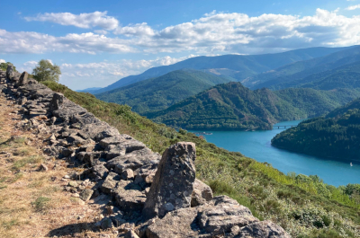
Balisage Jaune PR
Distance totale 13.0026km en boucle
Dénivelé positif 523m | négatif 523m
Truc de balduc
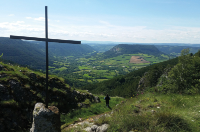
Balisage Jaune PR
Distance totale 13.0026km en boucle
Dénivelé positif 523m | négatif 523m
Le chayrou
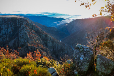
Balisage Jaune PR
Distance totale 5.558km en boucle
Dénivelé positif 121m | négatif 122m
Roc de la gardette
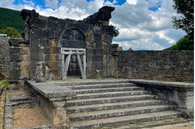
Balisage Jaune PR
Distance totale 22.4508km en boucle
Dénivelé positif 804m | négatif 805m
Le goulet
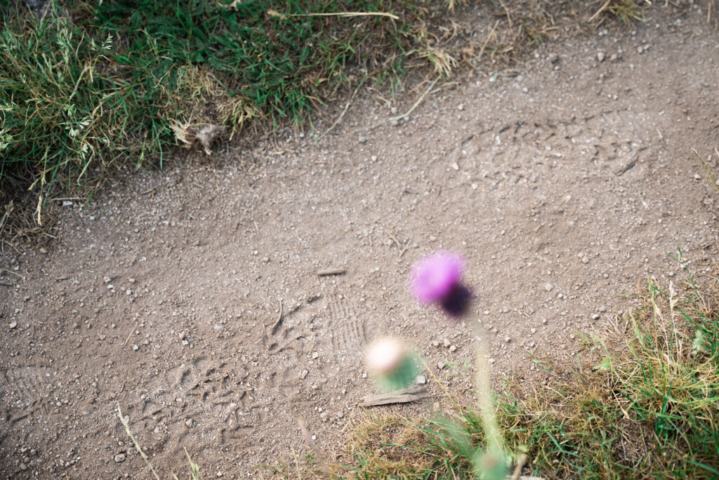
Balisage Jaune PR
Distance totale 12.8121km en boucle
Dénivelé positif 427m | négatif 427m
L’ancien moulin

Balisage Jaune PR
Distance totale 2.25km en boucle
Dénivelé positif 25m | négatif 25m
Source du lot et goulet
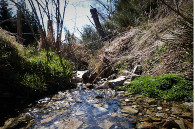
Balisage Jaune PR
Distance totale 19.5906km
Dénivelé positif 566m | négatif 567m
Ravin de combelle
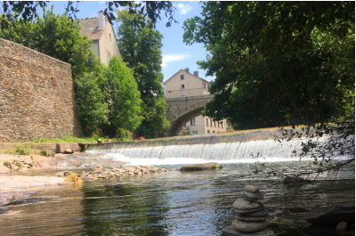
Balisage Jaune PR
Distance totale 6.654km en boucle
Dénivelé positif 247m | négatif 246m
Le chassezac
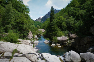
Balisage Jaune PR
Distance totale 5km en boucle
Dénivelé positif 284m | 282m
Gorges du bramont
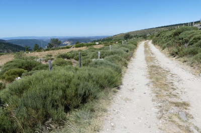
Balisage Jaune PR
Distance totale 9km en boucle
Dénivelé positif 0m | négatif 0m
Causse de sauveterre
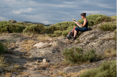
Balisage Jaune PR
Distance totale 10.5km
Durée moyenne du parcours 3H
Chalet de l’aigle
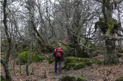
Balisage Jaune PR
Distance totale 11.6347km en boucle
Dénivelé positif 474m | négatif 475m

Zoom on the hike: The Chemin de Régordane – GR®700
Between the Massif Central and the Mediterranean, the Chemin de Régordane is a long-distance hiking route linking Le Puy-en-Velay to Saint-Gilles-du-Gard.
An ancient trade and exchange route, this path crosses villages classified among “the most beautiful in France” and delves into the heart of French history. It is also one of the most important medieval Christian pilgrimages in the West: the Chemin de Saint-Gilles. This route is punctuated by monuments listed as World Heritage by UNESCO, such as the Puy-en-Velay Cathedral and the Abbey Church of Saint-Gilles.

Website : https://www.chemin-regordane.fr/

